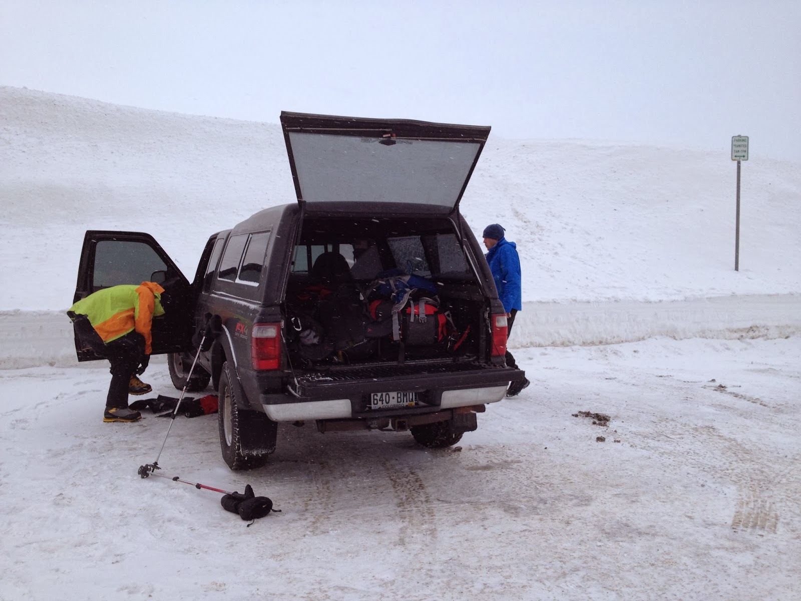
Today, the 2013 Winter Solstice, would be the shortest day of the year. We decided to celebrate by attempting a winter ascent of Grizzly Peak D (13.427ft.) in the Colorado Front Range. Kevin picked Grizzly Peak D because it would be easily accessible from Denver and a safe climb in winter conditions as the entire hike takes place along a ridge line. The three of us (Kevin, Zach and I) left Denver at 7am on a cold and overcast morning. After putting our gear on (mountaineering boots and ice axes for Kevin and Zach, microspikes and ski poles for me) we started our hike from the top of Loveland Pass at 8:45am. We would be following the Northwest Ridge Route (class 2), which is roughly 6miles round trip and 3000ft. of elevation gain.

The trail was relatively easy to follow as it had recently been tracked. There was a good amount of snow on the ground, but you could still spot rocks and alpine tundra poking out from the snow. My choice of microspikes seemed to be the best choice of footwear for these conditions. There were a few cornices along the ridge line indicating the general direction of accumulation as the wind had swept most of the ridge clear of drifts. The above picture is showing our approach to point 12,915ft.

The above picture is looking back at Loveland Pass from just below point 12,915ft.

Looking left from point 12,915 you can see how close Mt. Sniktau (13,234ft) is from this point. I had hopes of bagging this peak on the return from Grizzly, but the weather conditions made that impractical and we decided not to attempt it. It was cold! With the wind chill temps were below zero all day long. From here we turned right, towards Torreys Peak and Grays Peak (shown below).

The sun only peaked out for about an hour before conditions changed drastically to minimal visibility and light snow fall. While the sun lasted we were treated to beautiful views of Torreys Peak (Right of Center).

The bump to the right is the approach to 'Cupid (13,117ft).' In order to get to 'Cupid' we had to descend several hundred feet only to re-ascend and then add to that amount. As this entire hike took place above 12,000ft most of the elevation gain came from ascending-descending points along the ridge both on the approach and return. After getting past 'Cupid' you must then ascend several smaller bumps, which include the only Class 2 sections of the hike, before the final push to the summit of Grizzly Peak D (13,427ft).

The shot above shows how conditions changed as well as part of the ridge after passing 'Cupid.' You can just see Zach in this shot leading the way forward.

Visibility went down considerably as snow started falling and conditions rapidly went from tolerable to COLD! You can see over my shoulder that we still had more ridge to go before reaching the summit. It was cold but as you can see, i'm still smiling!

It was way too cold to take off any layers for summit pictures. My phone was frozen in my pocket at the time this was taken. Thankfully Kevin had a point and shoot around his neck and was willing to take off his 'overgloves' to snap a few summit pictures. We spent about 5 minutes on the summit catching our breath before starting the descent.